Leaderboard


Popular Content
Showing content with the highest reputation on 02/15/2024 in all areas
-
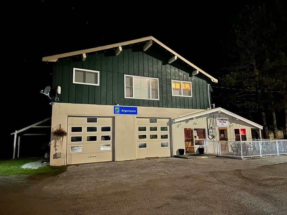
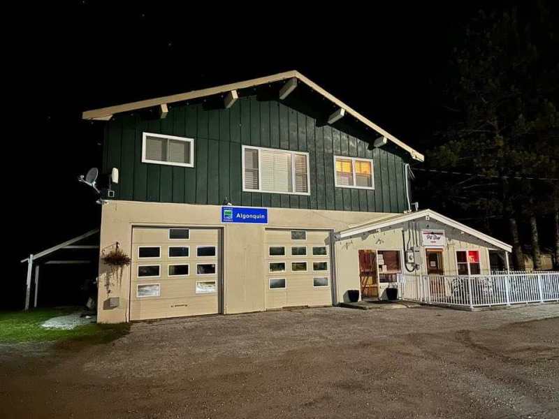
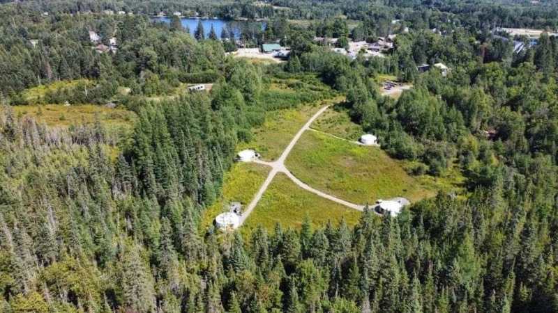
I thought I would post this here for anyone that might be interested! Here is a prime sledding and ATV accommodation that already has rental income. Right in the heart of Kearney! Direct access to Fetterley’s gas station and right on the OFSC and Park to Park trail system too. Walking distance to LCBO, Restaurants and General Store. A great opportunity to own this, or use yourself or share with friends?….and rent out the rest? Algonquin Park Office already leases one of the commercial spaces below in the main building…so already monthly income from that. Please contact the owners of Pit Stop 518 directly for more information. I am only sharing what I think is a great opportunity. Accommodations in the Town of Kearney for Sledding and ATV’ing are slim, so, this could be a great opportunity for someone. Info in the link to contact for more information https://www.facebook.com/groups/620755158435378/permalink/1743188816192001/?


 5 points
 -
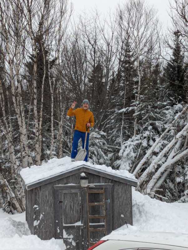
All kinds of snow in Cape Breton..
 5 points
 -
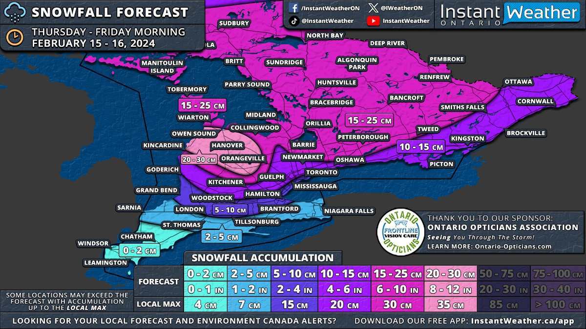
February 15th Snowstorm Update ( The system will approach from the west during late Thursday morning, initially impacting areas around Lake Huron before spreading eastward through the afternoon. Deep Southwestern Ontario, including Windsor, Chatham, and the Lake Erie shoreline, might start the day with mixed precipitation, including freezing rain, before transitioning to rain as temperatures rise. By the afternoon, heavy snow will extend across Central Ontario and into the Golden Horseshoe. There remains some uncertainty regarding the extent of mixed precipitation to the north. Consequently, areas closer to the shoreline, such as Hamilton, Burlington, Brampton, and Toronto, may see some mixed precipitation which would reduce the snowfall totals here. Central and Eastern Ontario will continue to experience snowfall into Thursday evening. The most challenging conditions are expected during the late afternoon and early evening when both wind and snowfall rates will be at the strongest. The system is anticipated to gradually exit the province shortly after midnight. However, lake effect snow may develop off Lake Huron and Georgian Bay, with a particularly strong squall likely between Owen Sound and Kincardine overnight. Although expected to weaken by Friday morning, lake-effect snow may still linger throughout the day, especially in Huron, Wellington, Grey, and Bruce counties. This system will also impact southern parts of Northeastern Ontario, with Elliot Lake, Sudbury, and North Bay set to receive 15 to 25cm of snow. The rest of Northeastern Ontario, including Sault Ste. Marie, Chapleau, Timmins, and Cochrane, can anticipate 5 to 15cm. Northwestern Ontario, including Thunder Bay, is expected to see less than 5cm of snow. https://instantweatherinc.com/ontario/forecast/2024/2/14/snow?fbclid=IwAR0rfk9m-KadpH2BdmxOQP_qvMwodw1bYtw9MX5qjlLxY1Aym_HKLZLoaxQ
 4 points
 -
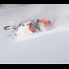
I’m driving to the cottage tomorrow in Fugereville I will check things out and let you know . So far my plan is to trailer to Val-for on Monday and start riding from there but if it looks good enough I will ride right from the cottage3 points
-
Better get at it while you can. Right behind it is warmer air, going to be 36 here in Michigan (directly west of your storm area) on Sunday, and 50 by Wednesday and long term forecast is 50-55, 10-14 days out with lots of overnights above freezing, and rain some days. Not trying to be a dick, just letting you know to watch the long term, in case you think you have a week or two, or more to enjoy the riding, and are thinking about putting it off a bit. Make hay while the sun is shining. Good luck to all, get some riding in. Me, Ima be in a walleye boat on the Saginaw Bay, or Saginaw river, for next week. Lots of big girls in the system right now. Ski3 points
-
79 SRX and ET3003 points
-
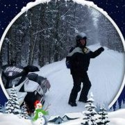
Started here about an hour ago. Lawn is covered. Glad I picked the bike up yesterday and not today1 point
-
Been getting it pretty good since noon here in Orillia1 point
-
Anyone leaving from Temiscaming heading north in the next couple days,I would appreciate a trail report,I see they groomed last night..cant imagine,but anything is possible..I see its snowing good in Vald'or next couple days..1 point
-
1 point
-
Calling for lake effect after the snow thursday👍1 point
-
5 cms if that and we are all done here in Kitchener.0 points