


barberch
-
Posts
528 -
Joined
-
Last visited
-
Days Won
7
Content Type
Profiles
Forums
Gallery
Everything posted by barberch
-
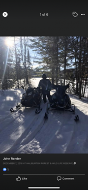
I was surprised to see Kennisis Lake frozen over today. It is usually later if I remember correctly
-
Not sure why picture is sideways ?

-
i stopped in there (Superior Propane parking area) around 4 on my way back from the Haliburton Forest and it looked really good in both directions. Definitely had a groomer down it as I could see the tracks. I see it is GREEN now.

-
agreed. It will probably be terrible.
-
temiscaming quebec green ? looking for 4th person
barberch replied to 528rick's topic in Main Clubhouse
looking forward to your report and pictures! -
take it from someone who bought a sled that had the keel on the inside, it is night and day in handling. I was having a hard time keeping it on the trail until i corrected them!
-
good show! Got a deal on boots from Wild Bill
-
Yep! haven't missed a year since it started.
-
when there is nothing else open and there is an itch that needs to be scratched, it is awesome! Don't put on your new carbides until after you ride there, but it is usually our first ride. those are called "wearable parts " for a reason!
-
Cool. I havent had those issues with my Triton
-
Can you get to the skis for tie downs with 2 sleds side by side in the trailer easily without going through the front?
-
I wish some more of the manufacturers would make the front access a 4x4 opening like Triton. It would make the decision to get something other than Triton easier
-
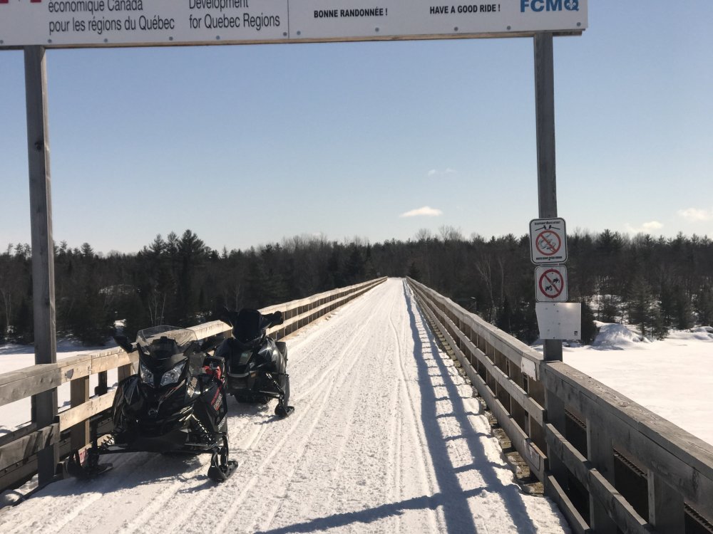
We had a look at the bridge when we were in the area last year.
-
does that come with the 3 doors?
-
Maybe only those that buy a trail pass should have access to the Interactive trail guide
-
I thought that is why they change the colour to red. That way everyone knows the trails are closed and it protects the land owners. For those that want to find out where the trails are so they can trespass, the map being unavailable certainly will not stop them. The Ride Command map is still available as are Trak Maps etc
-
I don't know why they have to take it down every year. Trails are all shown as closed, and there is no snow so its not like we can use the trails, then when they have the latest info, they can just update the map.
-
When we did it, we stayed in North bay, went over thru Port Loring and then down to Sand Lake (Kearney area). There are great trails in the Port Loring area and we just made a loop thru there
-
I've done it twice now. Once before it was called RAP and once a couple years ago. I would like to do it again clockwise..but not this year
-
great thread!
-
when looking at trails that lead to towns, i zoomed in and there was usually a small dotted line trail that lead to gas or restaurant. I think the present OFSC map is similar to the previous version that they used in quebec. OFSC map is a work in progress and I am sure it will get better. It would be great if the fuel stops that are on the trail made a donation to the clubs, but maybe its time we showed them regardless to help us plan our routes....
-
heading there in a week and a half. Using their interactive map to plan loops and found it to be very easy to use. Their fuel locations aren't all there much like the OFSC map, but I was able find what I needed. Hopefully the OFSC map is updated again to closly match what they have in Quebec.


