Leaderboard
.thumb.jpg.fb5e499ddad382ba00603038a4ac7d20.jpg)

Popular Content
Showing content with the highest reputation on 02/26/2023 in all areas
-
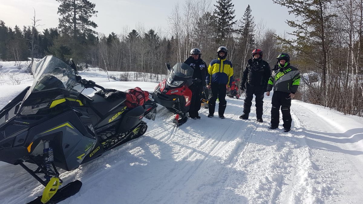
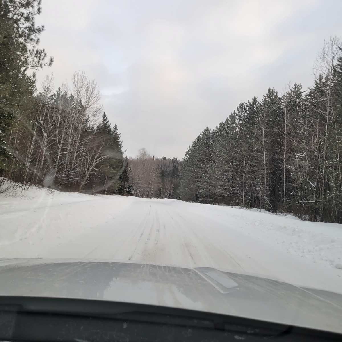
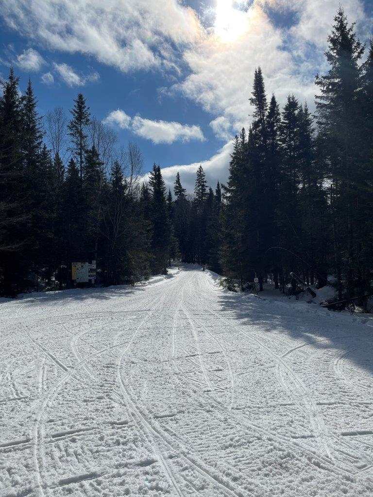
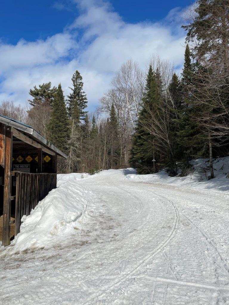
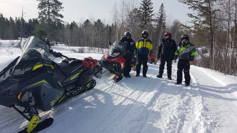
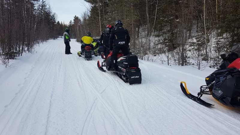
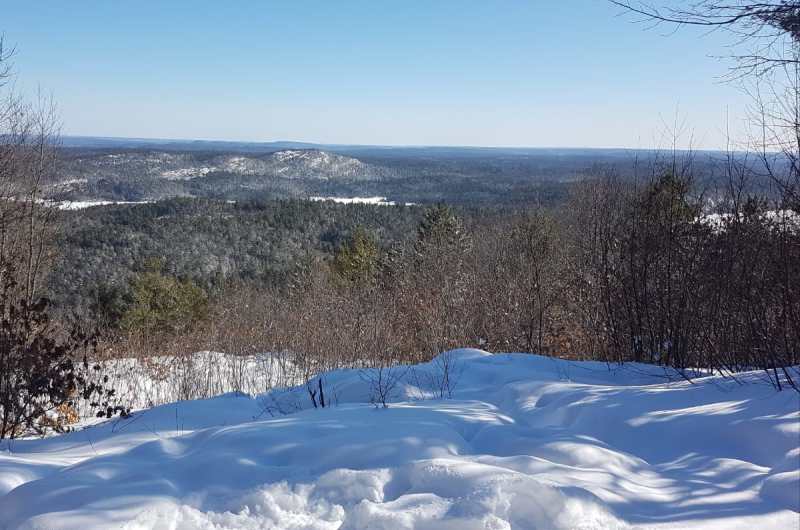
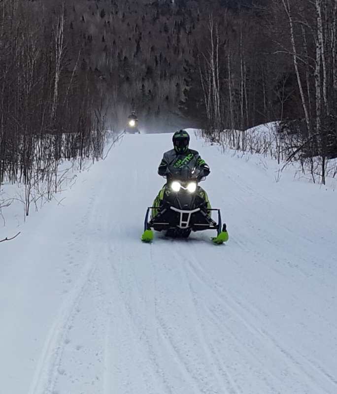
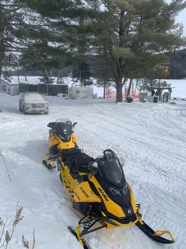
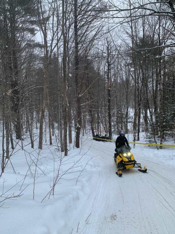
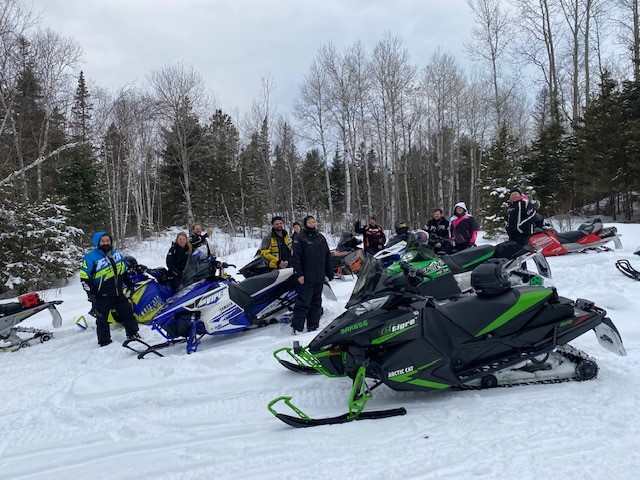
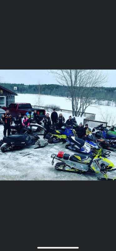
Our group originally wanted to do some Algoma riding this past week out of Dunlop Lake Lodge, but we couldn't get the nights that we needed. We all agreed that the Northern Corridor would be okay, but not our next choice. We wanted to minimize truck time, minimize trail traffic, maximize snow quality and stay at some new-to-us, venues. Thanks to contributors to this forum, the choice of routes became obvious. My friends and I, until this year, have considered a day's ride north of 17, to be a minimum of 500 km. We used to joke that 300 km rides were half days. We have matured and looked for a quality ride not a long ride. With that in mind we first booked into the Riverdale Resort in Alban for Tuesday and Friday nights. When we couldn't get into Tree Bears Camp (Shining Tree) for Wednesday, we booked there for Thursday night, which left Econolodge in New Liskeard (Dymond) for our Wednesday night lodging. At Econolodge, we ate supper at Ali's restaurant, as it was bloody cold out and we could walk inside from our rooms to the restaurant. All of us enjoyed our meals there, but I felt a little guilty not getting to Gillie's for a meal. Again, all of those locations were recommended by OCers. Thanks. All accommodations were good to excellent, with a special shout out to Tree Bears for being above and beyond. Trail conditions per the ITG were green for our entire 950 km 3-day ride. Trails did not disappoint. In the 3 days combined we maybe had 60 km of mildly choppy trails. The groomers can't be just in front of you all the time, but we had almost 900 km of smooth trails, even in areas like around NL, where there was hardly any snow in the fields. Thanks to the volunteers, groomer operators, clubs and districts for providing mostly well-signed and magically groomed trails with often minimal snow. Days 1 and 3 were basically following the most direct route from Alban and back(except for including the Wolf Mountain Loop, day 3), but day 2 required some augmenting to get a good day's ride(new definition). We left Dymond, headed north to Thornloe, Earlton, Engelhart, Charlton and out to the A trail via L162. Then to Elk Lake for fuel at the funky unmanned gas station. Next order of business was fuel for the humans, but there were no restaurants in the village. On advice from a local, we checked out the local convenience/general store hoping for a coffee and a packaged sandwich. Expectations were exceeded again when the onsite mini kitchen, had fried chicken pieces, potato wedges and fresh made pizza. We topped off our bellies and headed for Shining Tree via A107C and C trails. We were all familiar with the Three Bears Camp of the 1990s and 2000s, and accordingly had previously left Tree Bears off our travel plans. What a mistake. Our large, new (not refurbished) 3-bedroom, 7-bed cabin was modern and comfortable. The camp is not licensed but we got in on a run to the LCBO by our hosts. Then the two supper choices(3 course) were both delicious. Friday morning at -25C, Oliver was quick to produce a battery booster when one of our sleds required it. Obviously, I was super impressed with the whole operation. By my odometer, our 3 days were 309, 309, and 332 km for a total of 950 km for our very cold, but successful mini trip. I will have to get the IT department (wife) to show me how to get pictures from my phone to the forum. This was my first trip not using a camera for photos. People have been conspiring for a few years now to bring me into the 21st century, but I am a reluctant participant. Don't have many pics anyway because it was too cold to expose my hands. Can see in the trail photos that there isn't a lot of snow to work with.
 14 points
 -
All good in D7 today. 51, 54, LOB, 76, d101 to ASC shelter all mint. 65 66 67 good, needs a groom to widen it out since no one rides there side in fresh snow. 101 down to 63, fuel at MTH good, 64 south to Raven lake was top shelf👌, d101 to Baysville limit was tough as usual. Baysville was good getting icy in corners by this time. Back to HGR chopped but still ok. Someone smucked a tree real bad just past the baysville gas station. Bummer. Passed the groomer on his way down d102 by Freds. A good ol muskoka rodeo. Please dont signal me when riding down the middle of the trail and im eating the bank. Not kosher, i dont give a rats ass who's behind you or any other handy info you have to pass along at that moment in time lol. Peace out.
 9 points
 -
Bang On! From.my personal experience and many years grooming, building trails, and doing signage/risk management. Yellow is way over used. Clubs I feel are worried about risk and I get that. When I list a trail as yellow, I think about a family who wants to go out for a ride, is it passable? Yellow keeps many riders away, and in many cases, I have ridden yellow thats green all day long.. Education is key...5 points
-
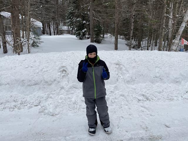
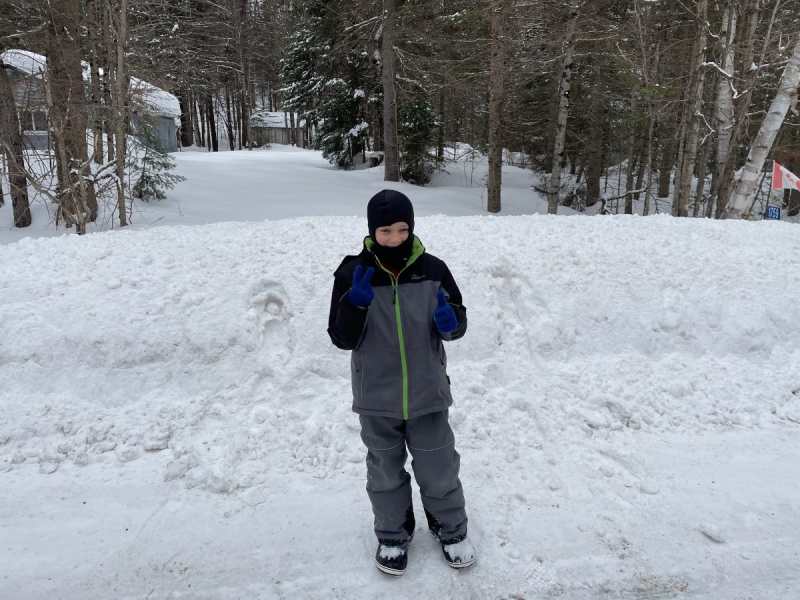
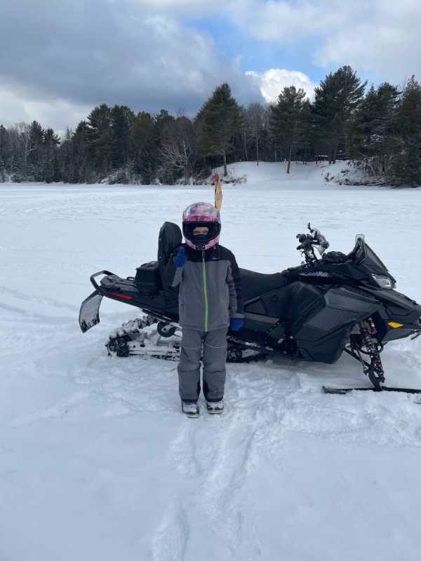
Grabbing lunch in Dwight with my son. Trails aren’t bad for a Sunday. 65 has some chop but fresh snow makes big difference from this past Monday. Son complained about tummy, ended up puking on trail 67, seems good to go now though…lol forgot some pictures.
 4 points
 -
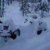
Looking good out there. Only been gone 6 days, looks like the backyard tracks, are almost covered already. Time to go back up, to shovel, again. Ski

 3 points
 -
With Ontario (and the OFSC) fully petrified of liability... That aint gonna happen. Imagine someone believing an open trail means green, and it hasnt had a groom in days, weeks, or is the first groom, or has a washout or rough section or three, road running, logging ops etc... The complainers, will complain even more, than they do now. There should be 4 conditions... closed (closed means closed), red, maybe not groomed, packed, or signed well but, available, use extreme caution. yellow open, use caution, many areas of rough trail, issues, or signage... and green, mid season, conditions, signed, regularly groomed (and more than 2 groomer passes). I truly believe you need an independent person listing the trails and their conditions (not someone on the club, with a business directly linked to the condition and availability of said trail). We have all been to places that the trail was green, should be yellow, or red that should be yellow, or even green, and we have all been on those that should not be listed as open (and vise versa). there is the prestige of being the first to open, and last to close, and I have personally saw both to play out, as they shouldn't have been listed open at all, at the time. this, needs to stop. Open when it is safe, close when you have issues, you wouldn't run your own equipment down, without fear of hurting it. Again... everyone has a different view on what is acceptable to ride on. Ski3 points
-
You think a rap tourer is going to be possible on March break?1 point
-
It's not a bad idea but as you mention "too much a stretch". Adding that classification and doing it properly would require club volunteers to patrol their trails a lot more often. In many if not most clubs, those who would have the time to do these extra patrols are older retired people that in many cases are already over volunteered and/or don't have the $ to pay for fuel and sled expenses to do so. Have you noticed the pictures of various club volunteers in front of the OFSC dog and pony show trailer. There's a lot of grey hair showing.1 point
-
511Ontario is your friend, as well as listening to JJAM fm listen live, out of wawa. You can stream it on your phone, or laptop. They both update highway conditions, regularly. They opened the hwy later yesterday afternoon. but, you are right, you never know... Sometimes you may sit there for 20 minutes, 2 hours, 6 hours, or 2-3 days. And you get no warning or update to if/when. At least you only had to backtrack from Batchwana Bay, to Heyden and take the Ranger Lake road cut off but, it still sucks... been there done that. Now, even in summer months, we check 511 before leaving the Soo. A few weeks ago for 3-4 days, the highway was more closed, than open. Hope the rest of the trip is great and uneventful. should have a lot of smooth groomed trails, with close to a foot of fresh snow in the last few days, from Wawa to at least Hornepayne. Ski1 point
-
BTW, for info others, regular gas only at the 'funky' self-serve tank in Elk Lake and premium only at Wilderness Camp.1 point
-
I was aware of positive reviews here for the Wilderness Camp, but we didn't want to take the time for a proper sit down lunch because the cold outside was going to get much colder feeling as daylight faded. As it turned out, our timing was spot on as we got to Shining Tree in time to catch the LCBO run and daylight disappear behind the trees. Saving Wildermess Camp for another trip.1 point
-
Well trip update, we left yesterday at 6 am from Detroit and headed to Wawa Ontario and both groups made it to within. 1.5 hours of Wawa Motor Inn on Hwy 17 North and boom the Hwy was closed due the snow storm..if we were thinking we would of called for a report, but had pure sunshine and zero wind the whole way we were told it will be closed for possible 2 days... we then had to turn around and go back to Searchmont turn off and go 556 up to ranger lake adding 5.5 hours to the trip. Make it to Wawa at 9pm. Stay tuned for more....

 1 point
 -
Sounds like a awesome trip!!1 point
-
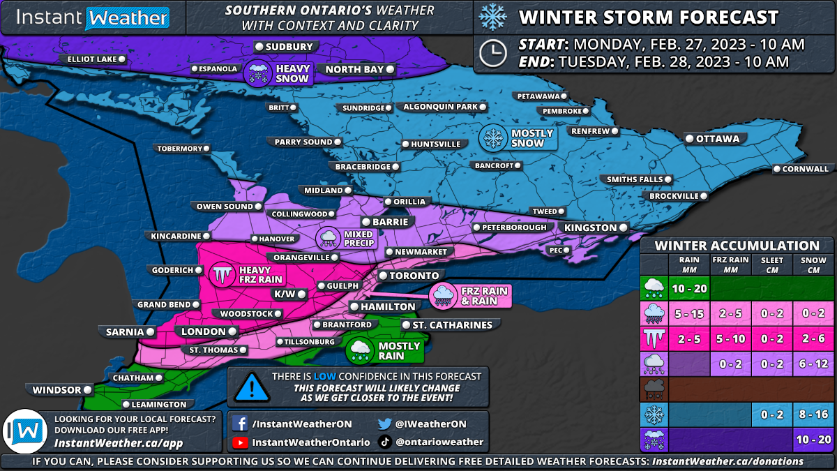
Instant Weather Ontario February Set to Go Out Like a Lion as Southern Ontario Is Targeted by Another Winter Storm on Monday Forecast: https://instantweather.ca/.../2023/2/25/son-winter-forecast Note: This is a preliminary forecast as there is some uncertainty on how long the cold temperatures will hold on which would affect the overall ice accretion. There is more confidence in the snowfall portion of this event so if we make any changes, it will likely be in Southwestern Ontario and the Golden Horseshoe once we get a better idea of how quickly the switchover will occur. Check back on Sunday for a more detailed forecast. Forecaster: Brennen Perry Published: Saturday, February 25, 2023 It has certainly been an active month across Southern Ontario regarding the weather as we’ve experienced almost all the seasons over the past few weeks. This includes temperatures on both extremes from wind chills in the -30s to spring-like temperatures well into the teens. It shouldn’t be a surprise that February is set to conclude with a bang across our region as yet another messy winter storm is on the horizon for Monday into Tuesday. Impacts will vary across the region from heavy snow in Central and Eastern Ontario to potentially several hours of freezing rain in the south. There is still some uncertainty regarding the exact intensity and timing of this storm so it’s quite likely there are some changes to the forecast as we get closer to Monday. At this point, it appears precipitation will start during the late morning or early afternoon on Monday in Deep Southwestern Ontario. With temperatures expected to be just above the freezing mark in the Windsor/Chatham area, it should come down in the form of rain. Total rainfall accumulation throughout this event will range from 10-20mm. As the precipitation spreads further north throughout the afternoon it will encounter some colder temperatures east of Lake Huron and into the Golden Horseshoe. As a result, a fairly expansive zone of freezing rain will develop and impact Sarnia, London, Goderich, K/W and Guelph along with parts of the GTA away from the shoreline throughout the afternoon and early evening. This could lead to icy road conditions just in time for the evening commute on Monday so plan to leave extra time to get to your destination and drive according to the conditions! The forecast gets tricky for those in the GTA around the Lake Ontario shoreline and into the Niagara region as temperatures will be very close to the freezing mark. Brief freezing rain is possible before it slowly transitions over to rain although if this transition is slower then more icing is possible. The Niagara region will likely see minimal freezing rain as the temperature is expected to rise faster there compared to other areas. While this system isn’t expected to be as significant as last week’s storm that brought heavy ice accretion from freezing rain, the time frame will be very similar as we see the worst impacts primarily during the evening across Southwestern Ontario and the Golden Horseshoe. Freezing rain will begin to transition over to rain in Southwestern Ontario as the temperature slowly climbs above the freezing mark during the evening and early overnight. Total ice accretion could range from 5-10mm in the hardest hit regions, but this should melt away fairly quickly unlikely last week which would limit the overall impact. It may still result in some localized power outages with a thin layer of ice developing on untreated surfaces including trees and power lines. Further north across Central and Eastern Ontario, we are looking at mostly snowfall with ice pellets mixed in for regions south of Lake Simcoe. Snow will start during the late afternoon and continue throughout the evening and overnight. Total snowfall accumulation is expected to range from 6 to 16cm with the highest totals in the more northern parts of our region. Those in Northeastern Ontario including Elliot Lake, Sudbury and North Bay could see up to 20cm of snow. We expect to see the snow come to an end by the noon hour on Tuesday. As mentioned, this is a preliminary forecast as there is some uncertainty on how long the cold temperatures will hold on which would affect the overall ice accretion. There is more confidence in the snowfall portion of this event so if we make any changes, it will likely be in Southwestern Ontario and the Golden Horseshoe once we get a better idea of how quickly the switchover will occur. Check back on Sunday for a more detailed forecast.
 1 point
 -
According to OFSC policy, club trails in Ontario are not to be opened in any colour until they have been inspected as to condition and signage by an appropriate individual from said club, signed off on by that individual and the signed paperwork sent to the district office. I believe this procedure has been in place for quite a number of years.1 point
-
Theoretically you are correct but since we already have riders who believe a trail permit gives them the right to ride any trail anytime, I believe that having only Red and Green trails would mean a dramatic increase in red riders. Maybe more education is needed for the club volunteers and groomer captains that make the call on the colour posted.1 point
-
Green or red. Show where the groomers have been, but only after the club calls the trail open. The second it is closed hide all grooming activity on that segment. It will give the riders what they want and will reduce volunteer workload having to complete updates as often.1 point
-
No closed is closed. How can there be 2' of snow in north bay, trails groomed into the 9's and maybe one washout that causes the entire system to be yellow. Then in district 3 you get 6" of snow one groom and it all goes green despite the hazards. It makes no sense.1 point
-
Came back down the A trail today to A102Q. Then headed to Temiscaming and rode the Quebec side to Swisha before crossing back over. Most of it was awesome. The trail into Temiscaming was rough once I crossed that last river before getting to town. Another one that seems to get ignored. All in all great 2 days of riding. TQ 43 is certainly remote. 200 km of nothing but access roads, lakes and the odd cabin.1 point
-
No worries...it was quite ok to cross and easy to follow tracks to trails1 point
-
#'s I can't wrap my head around. It's absurd.1 point
-
agreed. I have to keep listening for my wife when she is behind me to catch up and its so hard to hear the thing. Its nice1 point
-
i also enjoy the quiet sounding 4 stroke .must be getting old .1 point
-
4 strokes are quiet. My ears never hurt all day. Track noise is minimal since they use a silent track design typically, well on touring machines anyways.1 point
-
Going across lake gets old after a few hours. Kids have a blast but I enjoy different scenery. If I was going to get into that game I get an old Mach z and bore and set it up for ice drags 😎. That doesn’t interest me at all.1 point
-
Brp is nice just dealer network in our area sucks now. We use to have a dealer in new Hamburg, Stratford, st Mary’s. All gone for various reasons. Polaris has more choice for our area and faster service if you need warranty work. For that reason I buy a Polaris now and I really like matrix and 650 engine. Good for 15,000 km’s plus no problem.1 point
-
Launched from Port S on Monday, headed to Port Loring via Spricedale, Magnetawan, Sunridge. Trails mostly ok, some still awaiting grooming after week end. North to Spricedale was good. Magnetawan seemed to be a bit thin and the 105 to Loring was rough. Several Water cuts east of Magnetawan and on 105. Launched from Port Loring on a blizzard this morning then Restoule, Nipissing, down 110 and D to Kearney, and on to Port Sydney. Trails were mostly in good to excellent shape.1 point
-
Let's keep the politics out of this forum. We're all entitled to our own opinions.1 point
-
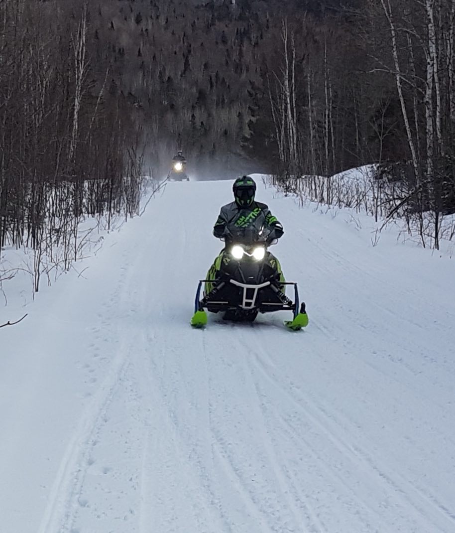
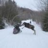
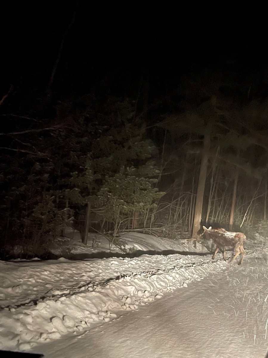
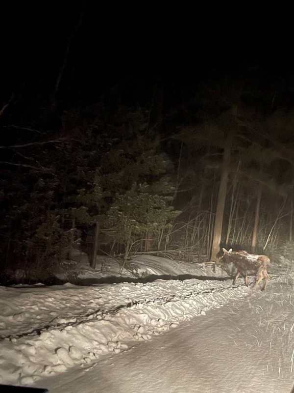
Dirty dozen out and about in the French/Sudbury trails. Got a trip saving snowfall on Thursday night. Hat's off to the local clubs for scrambling and grooming it out! Bubby moose out for a snowy stroll.
 1 point
 -
Now Ski Doo has a tank to put the Kool Aid in on the sled!1 point
-
Son and I staged out of Baysville Monday and looped up around Kearney and back. Traffic was light and trails overall were better than what we expected. Road runs were not great but passable. Also saw the dead deer and there were about 20 ravens performing natures clean up. Guess they call it Raven Lake for a reason. Coming back on Lake of bays there was a small herd of deer that jumped on the lake to catch the last of the afternoon sun. In total did 237 km. With the snow in the forecast this week this area should be in good shape for a while.1 point
-
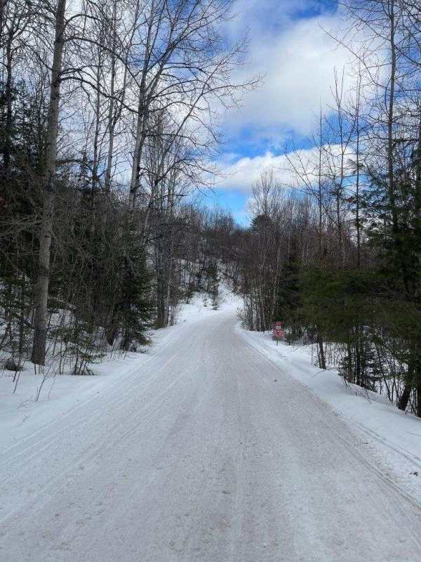
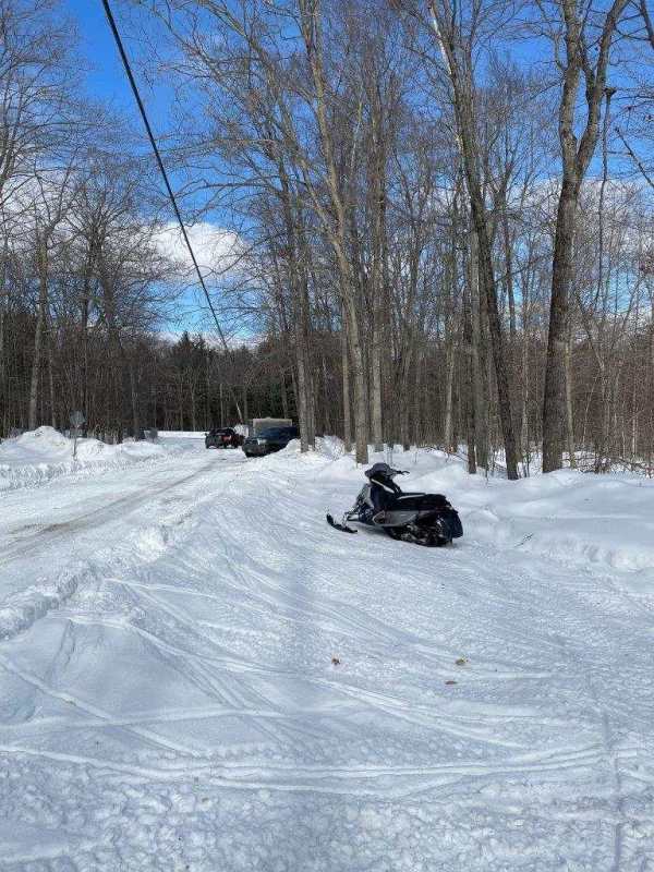
The daughter and I staged from Raven today and ended up doing 180km when we returned to the truck. Surprisingly the trails were actually pretty good - yes, some not so good, but plenty of good to really good trails to make the drive well worth it! As Steve F6 said, D101B from ASC shelter to around 63 was mostly good, in either direction beyond these points, some new snow is needed for sure and some cold. 65 loop was great, some thin spots, but most of it was good, like it usually is. I considered the 66 loop but never did it.....must do it on the next run up there. 64/68 were good too. 77 needs some snow and cold for sure. Planned to grab lunch at Boiler room, but was closed until 4 I think. Grabbed gas at Shell / Webster's Beacon with the plan to scoot across LOB via 76 to get some food at Zachary's, tried to call them to see if open, but just vm.....daughter was hungry and did not want to risk running that way to have no food options so we noticed Webster's Beacon has a pretty good selection of food, so grabbed lunch there instead.....all done and said with, $14.00 for the food plus $10.00 tip, figured I would have spent at least $50 at the Boiler Room, so that turned out well! Trails were pretty quiet, passed 6 to 10 groups I would say, all spaced apart quite a bit. The one thing that struck me was all the riders/groups we passed were riding very respectful - I usually try to get in and out the last few years by noon or 1PM due to the number of yahoos you come across after lunch on the weekends, seems to happen on every ride, but not today! Saw a dead deer on the side of the trail that must have got hit by a sled fairly recently (last night) since most of the body was still intact. It was on the D101B between 60 and 61. Anyone know what is the deal with tracked side by sides riding the trail and what what appears to be a plowed section of D101B between 65 & 63 for I assume vehicles perhaps to get to their cottage - never witnessed this before on this section? Also noticed Bear Lake road (trail 64) is now plowed by I assume the cottage association a lot further than the usual 100/150 feet from Livingston lake road that is/was used by local cottagers to park? I do not think it is for logging..... Just a few pictures from the day.


 1 point
 -
Beyond the self serve fuel stations, there is another more serious problem threatening the existence of the remote camps and lodges that we count on for the northern snowmobile touring experience. We all know about the shortage of all kinds of labour that companies in the south are experiencing. In the remote north it is many tines worse, such that most camps are dependent on a single family unit to shoulder all of the work required to keep the camp in operation. The resultant burn-out has caused closures in the recent past, but I fear we have just seen the tip of that iceberg. Its one thing to hire good help in Kap or Hearst, but imagine in Aubrey Falls/Black Creek or even Hornepayne. This is coming from a glass half full kind of guy, but I can't help seeing serious challenges ahead for my portion of the sport.0 points